PDF3D ReportGen and PDF3D.IO development SDK can be used to process large point cloud data to 3D PDF.
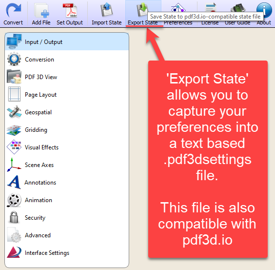
When dealing with e57 point clouds, the best way of working is to start with the smallest test case. This will allow you to create a settings file which can capture your preferences and be re-used when working with these file types. The settings file is also compatible with PDF3D.IO development SDK.
- Subsampling
The ‘subsample’ control provides a way to decimate the cloud, number of points, from e57 to 3D PDF without straining the computational resources required for conversion. The biggest limitation in converting to a high performance 3D PDF relates mostly to the size of the output PDF, so constraining the number of points is important.
If you wish to have a 2 million point 3D PDF, but have a 200 million point input, then set subsample=100. Above 3-4 million points become more difficult to view in Adobe Reader so it is recommended to stay below this.

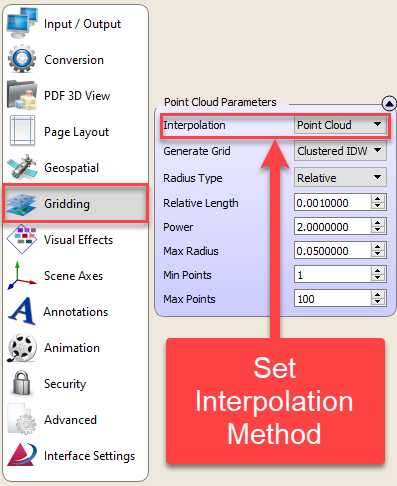
- Interpolation Method
Perform IDW presents the choice between reconstructing the grid from a point cloud, or simply exporting a mesh of individual points. If points are exported as lines, they will have lengths of Relative Length multiplied by the length of the diagonal of the bounding box.
The ‘Point Cloud’ option displays the individual points (after subsampling) directly the in 3D view, as a point cloud. When showing the direct point cloud, the points will normally be shown as 2x2 pixel points on screen, either black, or coloured by colormap file data, or by directly loaded RGB colours.
If this option is set to IDW mode, a low-resolution terrain surface reconstruction step will be generated. In “Point Cloud” mode, this is skipped so the points are shown directly without any surface reconstruction or additional processing.
It is recommended that users start with interpolation set to “Point Cloud”.
- Colour RGB Per Point
If your e57 has full colour RGB per point, this should be picked up automatically. If this is not the case, the sub menu ‘Color and Elevation Binding’, presents an RGB mapping mode.
If the user wishes to map only XYZ or a single attribute channel, a colormap file can be loaded.
